
Fishhook Fire remains at 347 acres, 0% contained near Steamboat Springs
The latest official figures posted Friday put the Routt County wildfire at 347 acres with no containment. County pages listed evacuation and pre-evacuation zones and a forest closure.
Published at
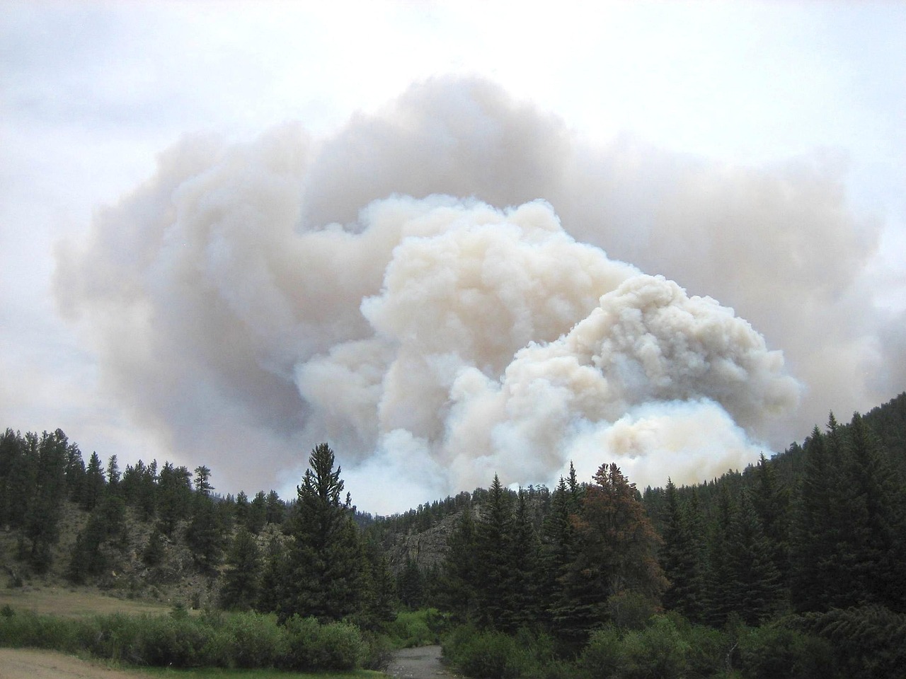
The Fishhook Fire had burned 347 acres and was 0% contained in the latest official update Friday, July 17, as it continued near Steamboat Springs in Routt County.
Colorado’s emergency-management agency posted those figures Friday evening. The InciWeb incident record places the fire in the Routt National Forest, about 8 miles northwest of Steamboat Springs. Routt County describes it as burning near Rabbit Ears Pass.
Routt County’s July 17 incident notice said pre-evacuation status remained in effect for zones SS-356 and SS-376. The county said those zones are on National Forest land and contain no residences associated with the alerts. Its active-emergencies page separately listed evacuation orders for zones OC-522 and OC-523 and pre-evacuation alerts for OC-521, OC-528, OC-529, OC-531, OC-532 and OC-536. The page said Fishhook Fire resources were on scene.
The incident record says an area closure for the surrounding forest was established July 14 and lists a forest-closure order dated July 15. The fire was reported July 12. The Southwest Area Incident Management Team 1 assumed command at 6 a.m. Friday, with Caleb Finch listed as incident commander.
The county notice directs residents to the emergency map, evacuation-zone information and alert system. It lists Fishhook Fire information at 970-480-9650 and 2026.fishhook@firenet.gov.
The acreage and containment figures are the latest figures in the records reviewed and are not a July 18 status update unless officials issue a newer report.